Deniveles - Carte Des Pistes Portes Du Soleil Les Gets – Morzine – Avoriaz - Raised-relief map The Dénivelés Carte Des Pistes Portes Du Soleil Les Gets - Morzine - Avoriaz is a detailed 3D map of the region's ski resorts with their ski runs and lifts. GBP 48.45 2
Deniveles - Domaines Contamines Montjoie - Saint-Gervais-les-Bains - Raised-relief map Deniveles' Domaines Contamines Montjoie - Saint-Gervais-les-Bains 3D map offers a detailed view of alpine landscapes and ski resorts. GBP 47.85 1
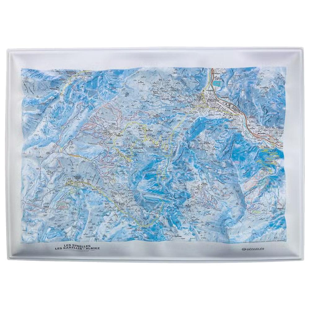
Deniveles - Domaines Les Sybelles - Raised-relief map The Domaines Les Sybelles 3D map by Deniveles offers a detailed view of the ski resorts and landscapes of this region. GBP 47.85 1
Deniveles - Domaine Megeve - Saint-Gervais - Combloux - Raised-relief map Deniveles' 3D map Domaine Megeve - Saint-Gervais - Combloux offers a detailed view of the peaks, villages and ski resorts of this alpine region. GBP 47.85 1
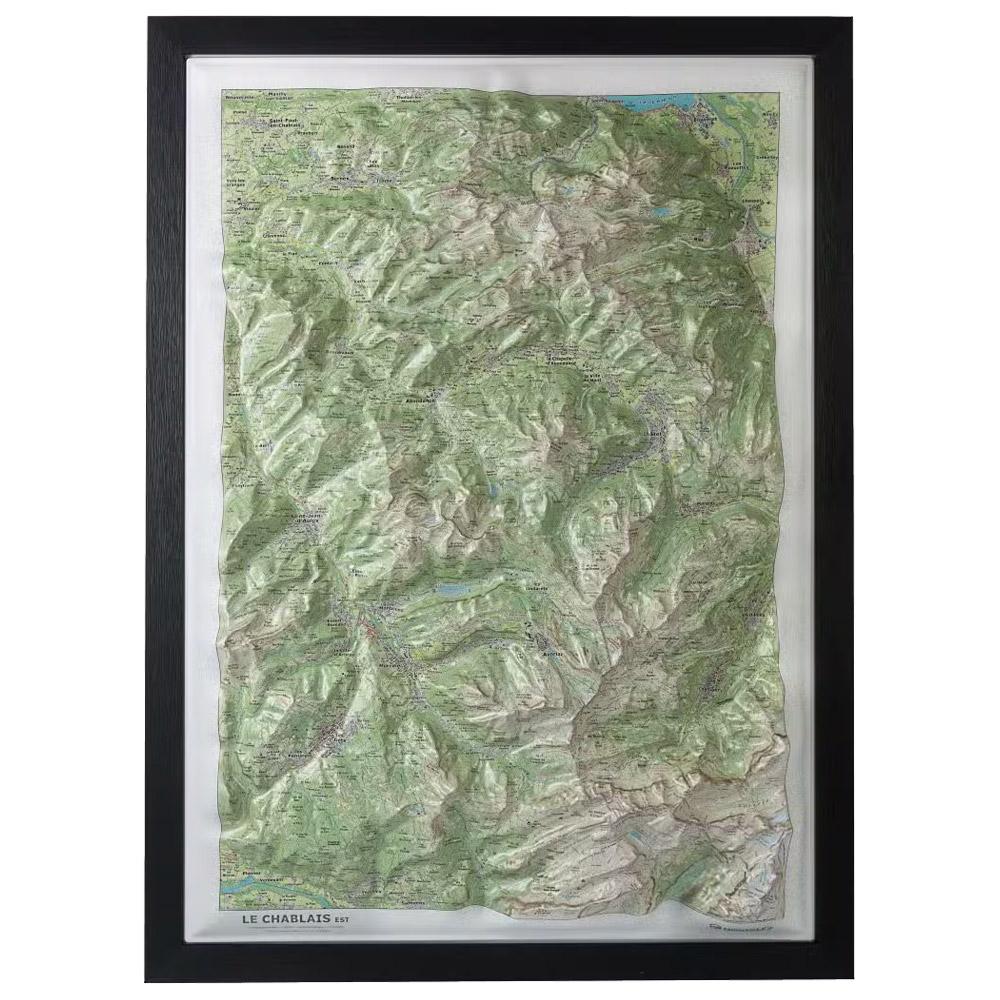
Deniveles - Le Chablais Est - Raised-relief map The Deniveles Le Chablais Est 3D map gives you a detailed view of this mountainous region and its ski areas, at a scale of 1:53,000. GBP 47.85 1
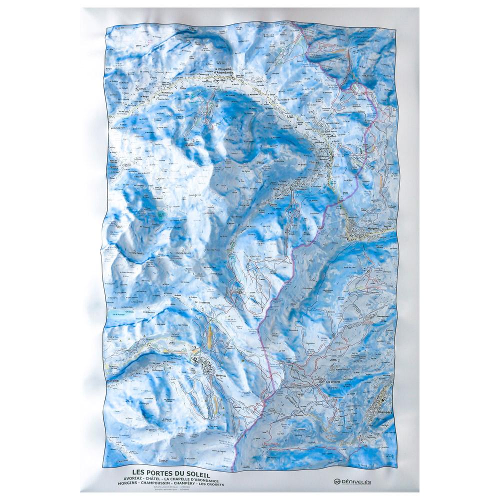
Deniveles - Carte Des Pistes Portes Du Soleil Avoriaz Châtel Chapelle d’Abondance - Raised-relief map The 3D Des Pistes Portes Du Soleil Avoriaz Châtel Chapelle d'Abondance vertical drop map will help you learn all about the region's topography, ski slopes and lifts. GBP 49.59 2
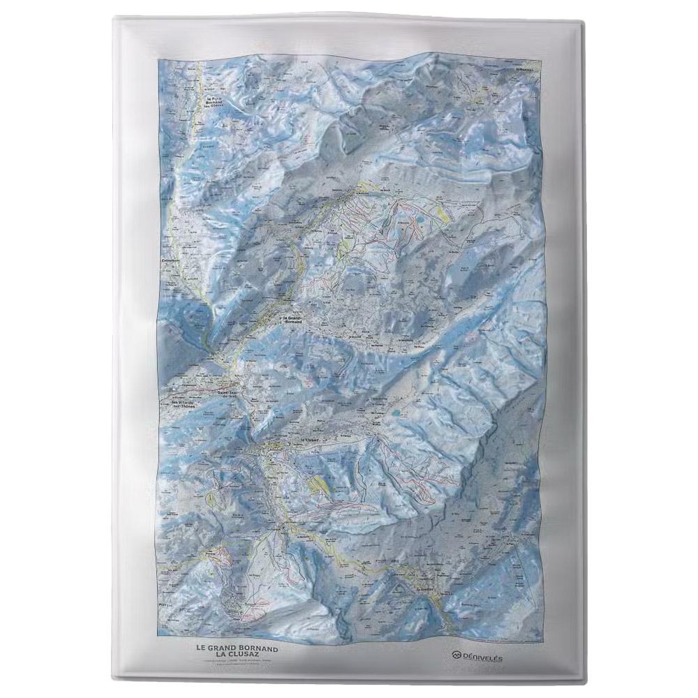
Deniveles - Le Grand-Bornand - La Clusaz - Raised-relief map Deniveles' Le Grand-Bornand - La Clusaz 3D map offers a detailed view of Alpine landscapes, including peaks, villages and ski resorts, at a scale of 1:30,000. GBP 47.85 1
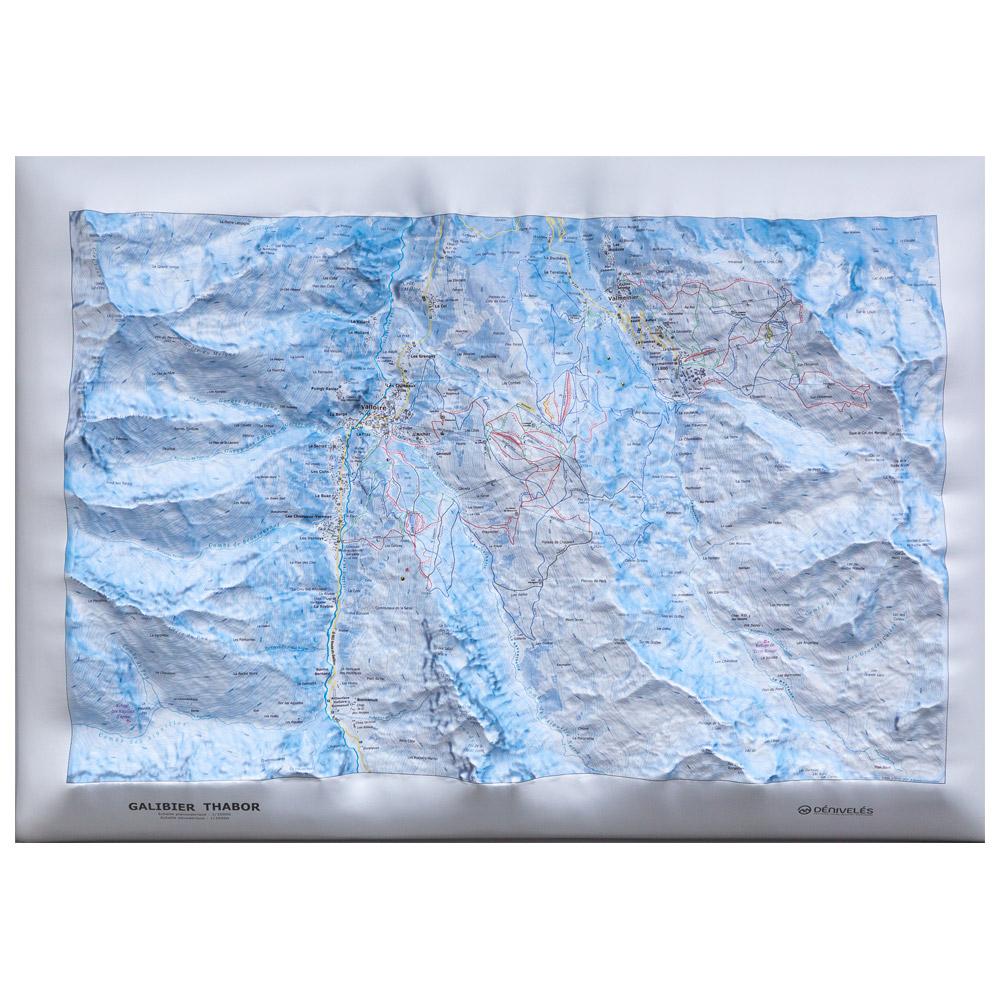
Deniveles - Domaine Galibier-Thabor (Winter) - Raised-relief map The Domaine Galibier-Thabor (Winter) is a relief map on which you can contemplate the ski area of the Valloire and Valmeinier resorts in great details. GBP 49.59 1
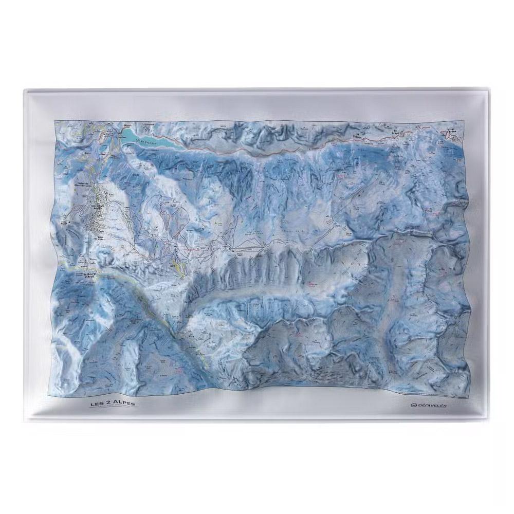
Deniveles - Les Deux Alpes - Raised-relief map The Deniveles Les Deux Alpes 3D map gives you a precise view of this ski resort's relief and infrastructure. Made in France, it measures 70 x 50 cm. GBP 47.85 1
Deniveles - Le Grand Domaine (Valmorel, Saint-Franois Longchamps) - Raised-relief map The Le Grand Domaine relief map from the Deniveles brand offers a detailed view of this part of the Alps, with its peaks, villages and surrounding ski resorts. GBP 47.85 1
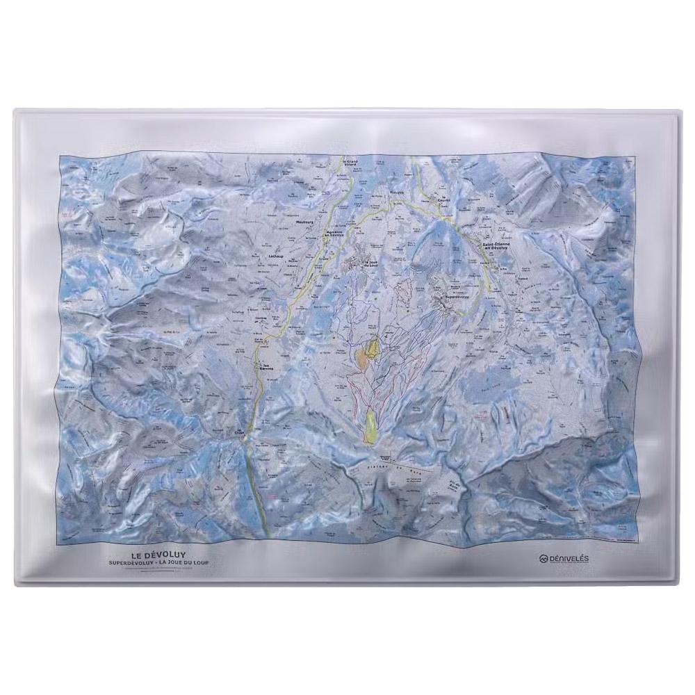
Deniveles - Domaine du Devoluy - Raised-relief map The 3D Domaine du Devoluy map by Deniveles offers a detailed view of the Dévoluy landscape, including peaks, villages and ski resorts, all at a scale of 1:30,000. GBP 47.85 1
Deniveles - Domaine Alpes D'huez - Raised-relief map The 3D Dénivelés Domaine Alpes d'Huez map is an immersive, detailed topographical guide. It is ideal for preparing your adventure on one of France's most famous ski areas as well as for decorating your home. GBP 49.59 1