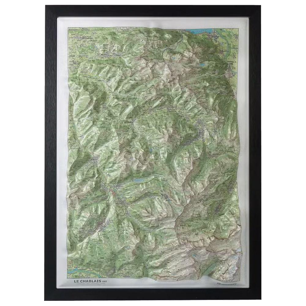
Deniveles - Le Chablais Est - Raised-relief map The Deniveles Le Chablais Est 3D map gives you a detailed view of this mountainous region and its ski areas, at a scale of 1:53,000. GBP 47.85 1
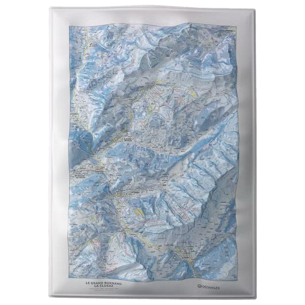
Deniveles - Le Grand-Bornand - La Clusaz - Raised-relief map Deniveles' Le Grand-Bornand - La Clusaz 3D map offers a detailed view of Alpine landscapes, including peaks, villages and ski resorts, at a scale of 1:30,000. GBP 47.85 1
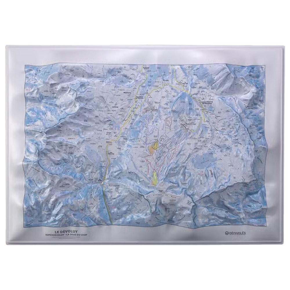
Deniveles - Domaine du Devoluy - Raised-relief map The 3D Domaine du Devoluy map by Deniveles offers a detailed view of the Dévoluy landscape, including peaks, villages and ski resorts, all at a scale of 1:30,000. GBP 47.85 1
Deniveles - Les Ecrins Nord - Raised-relief map Deniveles' Les Ecrins (Nord) 3D map lets you explore this mountainous region in detail, with a scale of 1/55,000 and peaks, refuges, towns and villages represented. Made in France. Frame sold separately. GBP 47.85 1
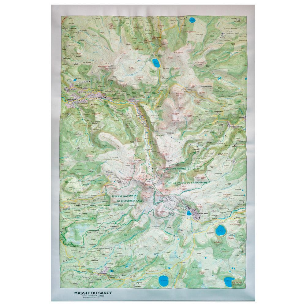
Deniveles - Massif du Sancy (Summer) - Raised-relief map The Dénivelés Massif du Sancy Summer is a raised relief map of the Sancy range in summer, made in Auvergne (France), it shows this area in great details at a 1/35000 scale. GBP 47.85 1
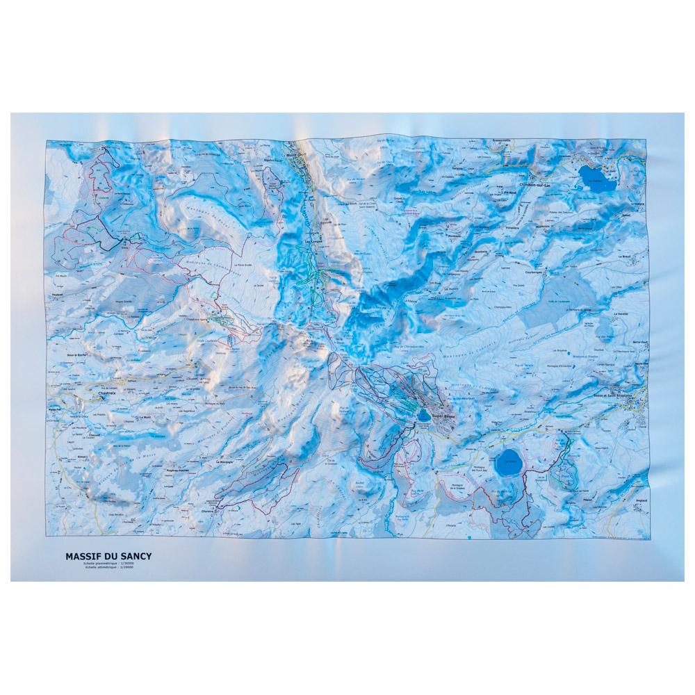
Deniveles - Massif Du Sancy (Winter) - Raised-relief map The Dénivelés Massif Du Sancy Winter is a raised relief map of the Massif du Sancy in winter, made in Auvergne (France), it represents in great details this area at a 1/35000 scale. GBP 49.59 1
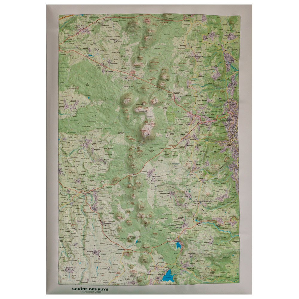
Deniveles - Chaîne Des Puys - Raised-relief map Here is a raised relief map of the Chaîne des Puys made in Auvergne (France) by Dénivelés. It represents in three dimensions the main part of the famous Chaîne des Puys at a 1/35000 scale. GBP 49.59 1