Deniveles - Domaines Contamines Montjoie - Saint-Gervais-les-Bains - Raised-relief map Deniveles' Domaines Contamines Montjoie - Saint-Gervais-les-Bains 3D map offers a detailed view of alpine landscapes and ski resorts. GBP 47.76 1
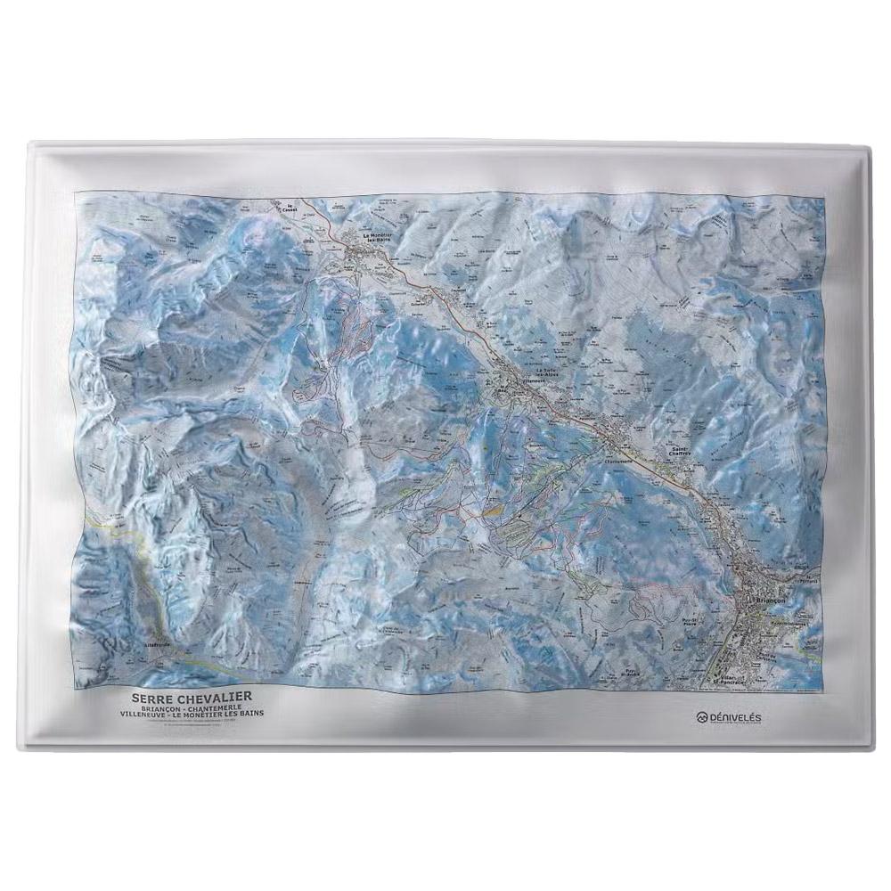
Deniveles - Serre-Chevalier - Raised-relief map Deniveles' Serre-Chevalier 3D map offers an immersive, detailed view of this mountainous region, ideal for geography and outdoor enthusiasts. GBP 47.76 1
Deniveles - Cadre 50x70 cm Black - Raised-relief map Exactly matching the dimensions of the 3D cards manufactured in Auvergne by the Dénivelés company, this frame is made of wood. GBP 28.27 1
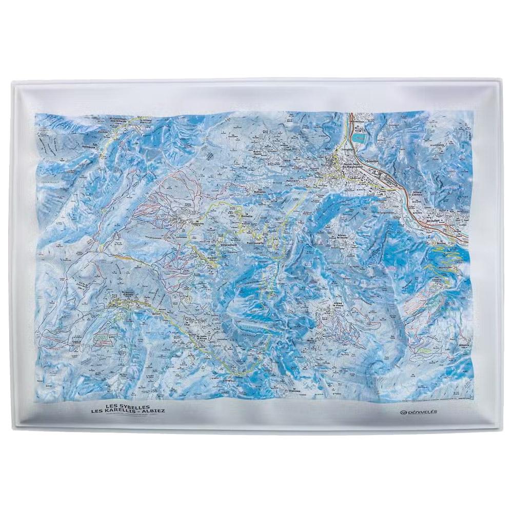
Deniveles - Domaines Les Sybelles - Raised-relief map The Domaines Les Sybelles 3D map by Deniveles offers a detailed view of the ski resorts and landscapes of this region. GBP 47.76 1
Deniveles - Cadre 50x70 cm Brut - Raised-relief map Exactly matching the dimensions of the 3D cards manufactured in Auvergne by the Dénivelés company, this frame is made of wood. GBP 28.27 1
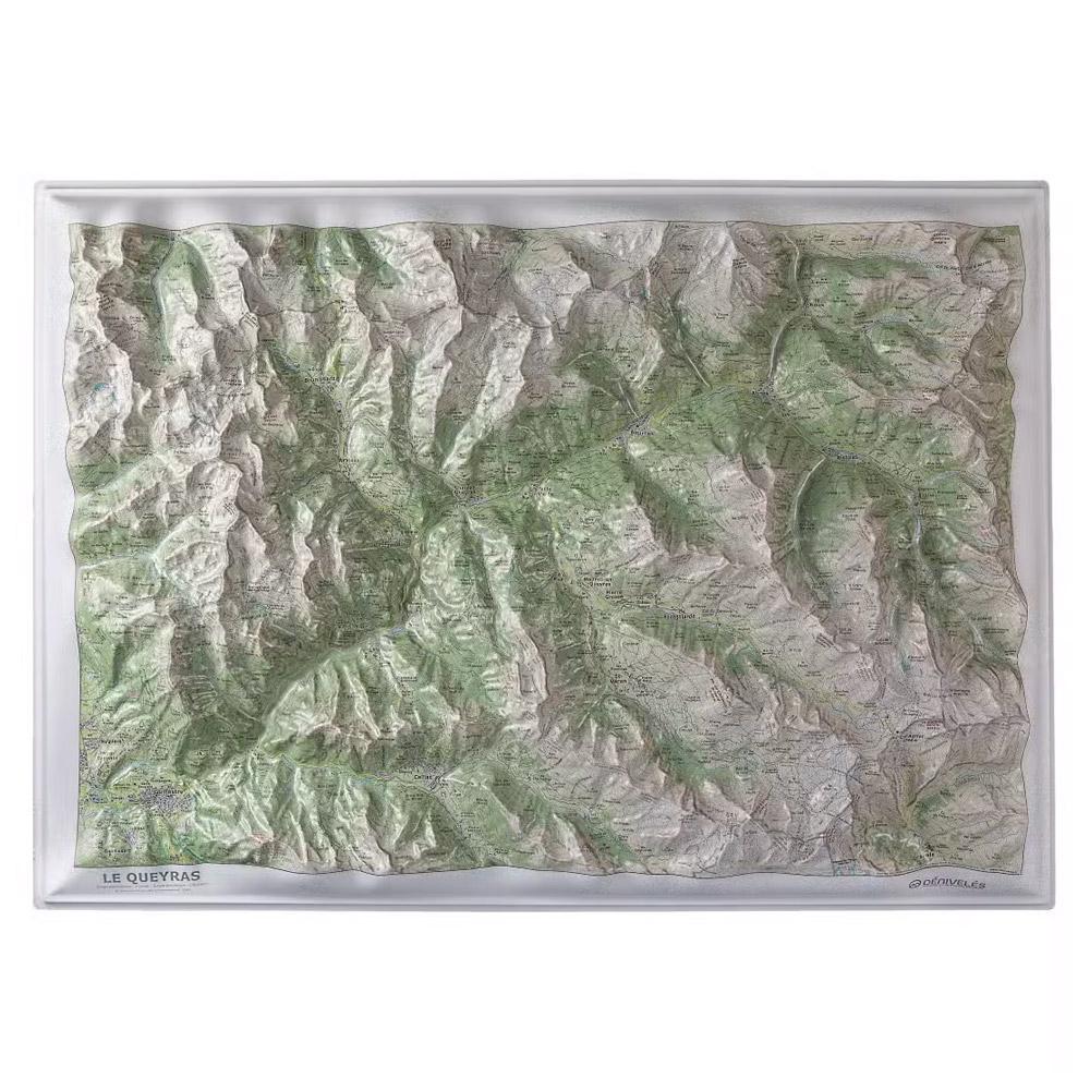
Deniveles - Le Queyras - Raised-relief map Deniveles' 3D map of the Queyras is both practical and attractive, allowing you to discover the region's alpine landscapes in detail. GBP 47.76 1
Deniveles - Domaine Megeve - Saint-Gervais - Combloux - Raised-relief map Deniveles' 3D map Domaine Megeve - Saint-Gervais - Combloux offers a detailed view of the peaks, villages and ski resorts of this alpine region. GBP 47.76 1
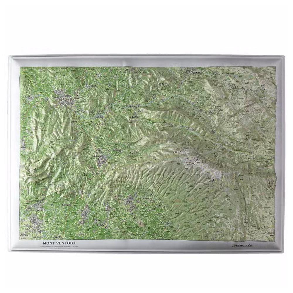
Deniveles - Mont Ventoux - Raised-relief map The Mont Ventoux 3D map from Deniveles is an invaluable tool for virtually exploring the varied landscapes of this emblematic region of France. GBP 47.76 1
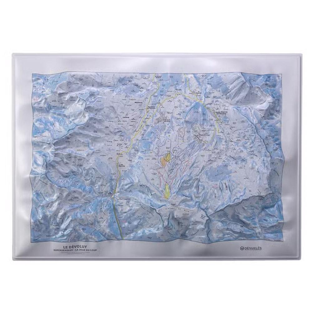
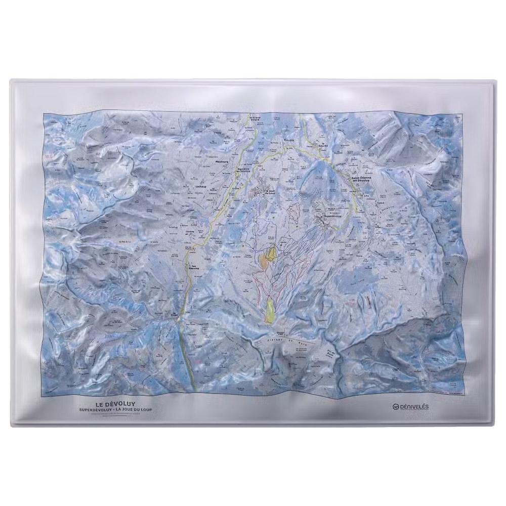
Deniveles - Le Devoluy - Raised-relief map Deniveles' Le Devoluy 3D map is a detailed representation of the Dévoluy massif, highlighting its relief and trails for precise exploration of this mountainous region. GBP 47.76 1
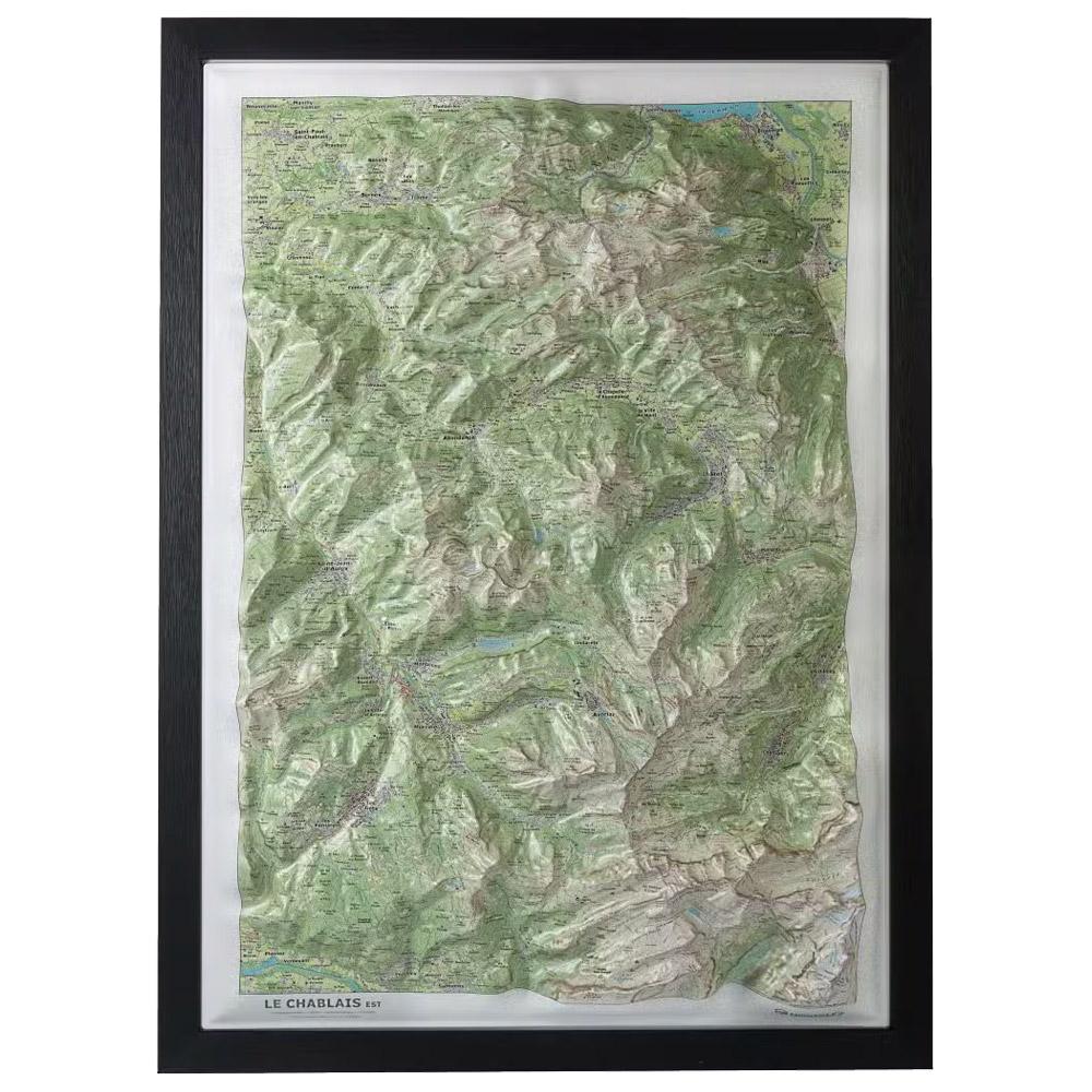
Deniveles - Le Chablais Est - Raised-relief map The Deniveles Le Chablais Est 3D map gives you a detailed view of this mountainous region and its ski areas, at a scale of 1:53,000. GBP 47.76 1
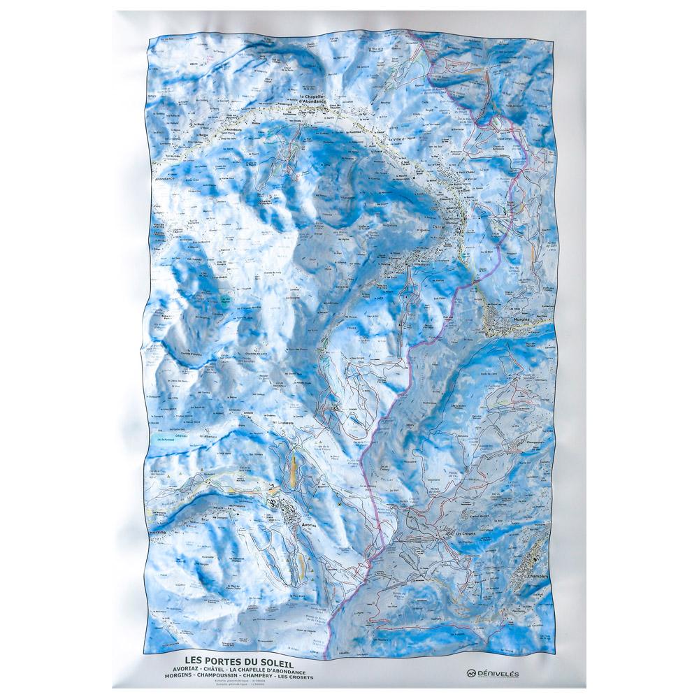
Deniveles - Carte Des Pistes Portes Du Soleil Avoriaz Châtel Chapelle d’Abondance - Raised-relief map The 3D Des Pistes Portes Du Soleil Avoriaz Châtel Chapelle d'Abondance vertical drop map will help you learn all about the region's topography, ski slopes and lifts. GBP 49.50 2
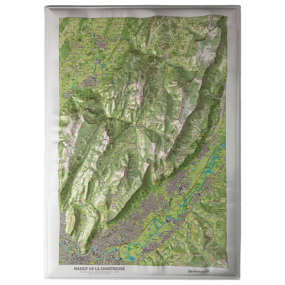
Deniveles - Massif De La Chartreuse - Raised-relief map The Massif De La Chartreuse 3D relief map is a detailed and decorative guide featuring 180 peaks, 45 valleys, and 71 passes, ideal for planning hiking trips. GBP 47.76 1
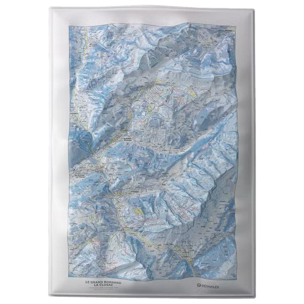
Deniveles - Le Grand-Bornand - La Clusaz - Raised-relief map Deniveles' Le Grand-Bornand - La Clusaz 3D map offers a detailed view of Alpine landscapes, including peaks, villages and ski resorts, at a scale of 1:30,000. GBP 47.76 1
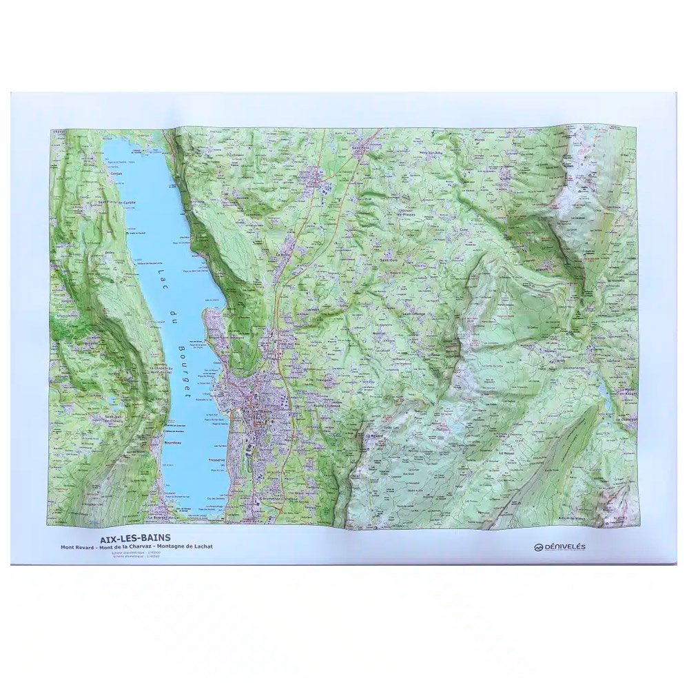
Deniveles - Aix Les Bains - Raised-relief map Made in Auvergne by Dénivelés, this 3D map of Aix Les Bains and the surrounding area lets you immerse yourself in the terrain and plan future escapades. GBP 49.50 1
Deniveles - Carte Des Pistes Portes Du Soleil Les Gets – Morzine – Avoriaz - Raised-relief map The Dénivelés Carte Des Pistes Portes Du Soleil Les Gets - Morzine - Avoriaz is a detailed 3D map of the region's ski resorts with their ski runs and lifts. GBP 48.45 2
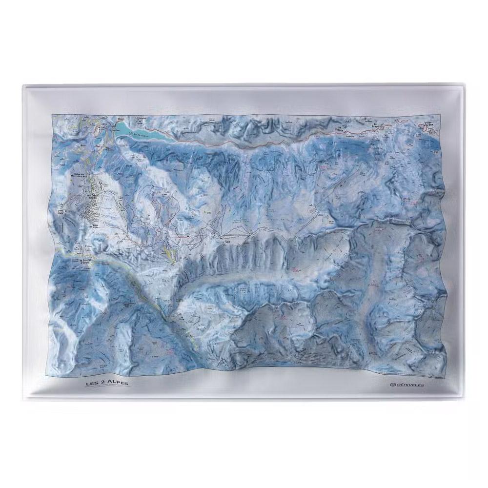
Deniveles - Les Deux Alpes - Raised-relief map The Deniveles Les Deux Alpes 3D map gives you a precise view of this ski resort's relief and infrastructure. Made in France, it measures 70 x 50 cm. GBP 47.76 1
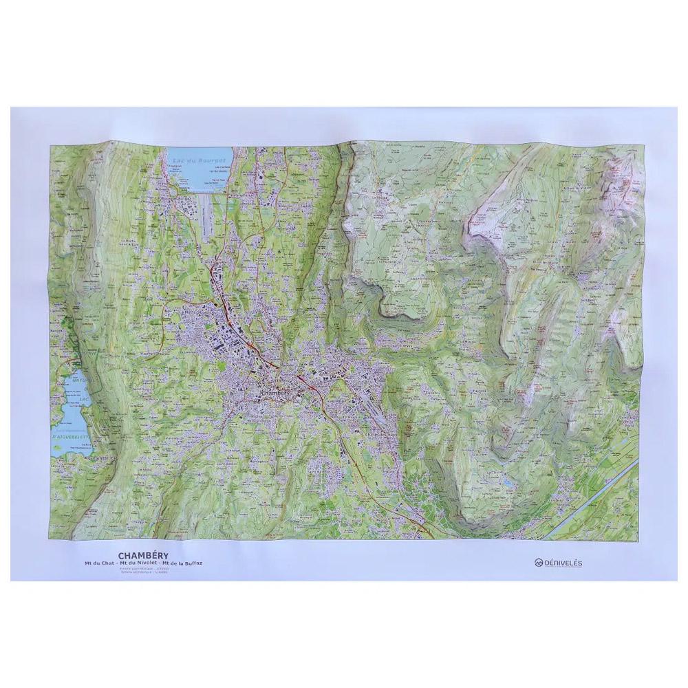
Deniveles - Chambery - Raised-relief map Made by Dénivelés, a company based near Clermont-Ferrand, this 3D map of Chambéry and the surrounding area lets you immerse yourself in the landscape before you get there. GBP 49.50 1
Deniveles - Domaine du Devoluy - Raised-relief map The 3D Domaine du Devoluy map by Deniveles offers a detailed view of the Dévoluy landscape, including peaks, villages and ski resorts, all at a scale of 1:30,000. GBP 47.76 1
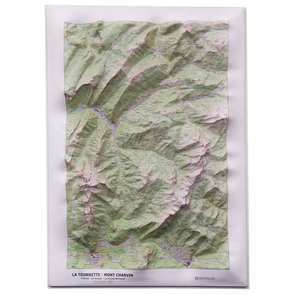
Deniveles - La Tournette & Mont Charvin - Raised-relief map The La Tournette & Mont Charvin 3D map from the Dénivelés publishing company immerses you in the mountains, allowing you to dream of your next excursions in the valleys or on the summits . GBP 49.50 1
Deniveles - Les Ecrins Nord - Raised-relief map Deniveles' Les Ecrins (Nord) 3D map lets you explore this mountainous region in detail, with a scale of 1/55,000 and peaks, refuges, towns and villages represented. Made in France. Frame sold separately. GBP 47.76 1
Deniveles - Domaine Alpes D'huez - Raised-relief map The 3D Dénivelés Domaine Alpes d'Huez map is an immersive, detailed topographical guide. It is ideal for preparing your adventure on one of France's most famous ski areas as well as for decorating your home. GBP 47.76 1